
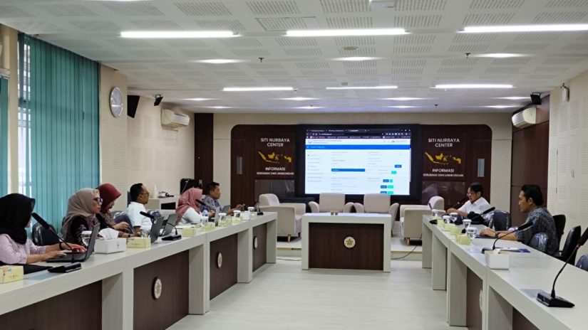
The Ministry of Marine Affairs and Fisheries, through the Directorate of Maritime Services, continues to strengthen its efforts to monitor and manage coastal and marine areas. To implement this, the Directorate of Maritime Services is continuing its collaboration with the Faculty of Geography at UGM. This continued collaboration began with coordination and discussions on the development of a monitoring information system for land reclamation projects and the identification of structures and installations at sea using the Google Earth Engine (GEE) application between representatives from the Directorate of Maritime Services and the Faculty of Geography at UGM. The meeting took place in Room E503 of the Faculty of Geography at UGM on Tuesday, April 28, 2026. Dr. Nur Mohammad Farda, S.Si., M.Cs., was present at the discussion on behalf of the UGM Faculty of Geography.
This initiative is a follow-up to the Google Earth Engine (GEE) training previously conducted as part of human resource capacity building. Both parties engaged in technical and strategic discussions, covering data integration, analysis methodologies, and future system implementation plans. The Directorate of Maritime Services believes that the development of this monitoring system will serve as a crucial foundation for creating integrated coastal and marine governance.